


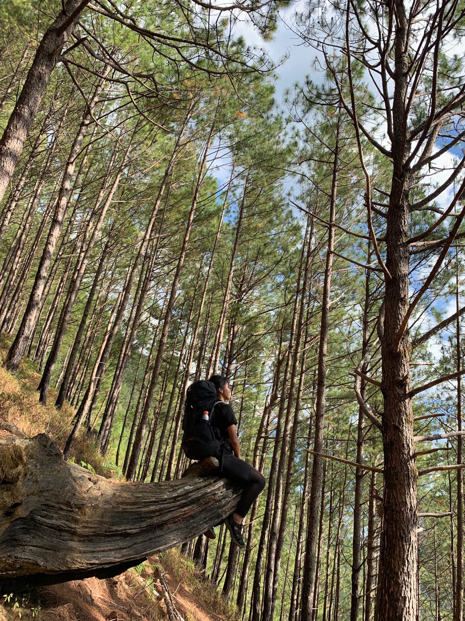
The best hiking trails in Austin are the Barton Creek Greenbelt, Mount Bonnell, the Ann and Roy Butler Trail, and River Place Nature Trail. The Greenbelt is a long creek corridor with swimming holes and limestone cliffs. Mount Bonnell is a short stair climb to the classic city overlook. The Butler Trail loops Lady Bird Lake through downtown. River Place is a brutal set of stairs locals use as a workout. Austin has an unusual amount of hiking for a city its size, most of it built around creeks, limestone, and the edge of the Texas Hill Country.
Austin hiking has one dominant factor: heat. From May to September, the trails are best at dawn and genuinely unpleasant by midday.
Quick Trail Comparison
| Trail | Distance | Difficulty | Best for |
| Barton Creek Greenbelt | Up to 12 miles | Easy to moderate | Swimming holes, cliffs, shade |
| Mount Bonnell | About 0.3 miles | Easy, steep stairs | The classic city view |
| Ann and Roy Butler Trail | About 10 miles | Easy | Lake loop, downtown skyline |
| River Place Nature Trail | About 5.4 miles | Very strenuous | Stair workout, hill country |
| McKinney Falls State Park | About 3 miles | Easy to moderate | Waterfalls, rock slabs |
| Turkey Creek Trail | About 2.7 miles | Moderate | Dog-friendly, creek crossings |
| Bull Creek Greenbelt | About 2 miles | Easy | Swimming, shaded creek |
| Wild Basin Preserve | About 2.5 miles | Moderate | Quiet nature preserve |
| Mayfield Park + Trails | About 1 mile | Easy | Peacocks, gardens, lake views |
| Walnut Creek Trails | About 15 miles of trail | Easy to moderate | North Austin, mountain biking too |
| Commons Ford Ranch | About 2.5 miles | Easy | Prairie, birding, river |
| Pennybacker Bridge Overlook | About 1 mile | Moderate | Iconic bridge photo |
The Big Four
1. Barton Creek Greenbelt
Austin’s best hiking, and the reason the city has a real trail culture. The Greenbelt follows Barton Creek for about 12 miles through limestone canyon, with multiple access points around the city.
Highlights include Twin Falls, Sculpture Falls, and Gus Fruh, all swimming spots when the creek is flowing.
The key thing to know: the creek is often dry. Barton Creek depends on rainfall, and in a dry summer the falls and swimming holes can be empty. Check recent conditions before you go for the water.
2. Mount Bonnell
The classic Austin viewpoint. A short but steep climb of about 100 stone steps to a bluff overlooking the Colorado River and the hills.
It takes ten minutes. It is the best effort-to-view ratio in the city and a popular sunset spot, so expect company.
3. Ann and Roy Butler Hike and Bike Trail
A roughly 10-mile loop around Lady Bird Lake through the middle of downtown. Flat, wide, and shared with runners and cyclists.
This is the trail that defines outdoor Austin. The boardwalk section over the water has the best skyline views.
4. River Place Nature Trail
Austin’s toughest workout. About 5.4 miles with well over a thousand steps and steep sustained climbing through hill country terrain.
Locals use it as a fitness challenge. There is an entry fee for non-residents, and it is not a casual stroll.
Hiking Around the Texas Heat
This is the single most important part of hiking in Austin.
- May through September is hot, regularly above 95°F and often above 100°F, with high humidity.
- Hike at dawn. Sunrise starts are standard practice for Austin hikers in summer.
- Seek the shaded creek trails. The Greenbelt and Bull Creek have tree cover that exposed trails do not.
- Carry far more water than you think. Humidity makes Texas heat harder than dry desert heat at the same temperature.
- Watch for flash floods. Central Texas is prone to sudden, heavy rain, and creek trails flood fast. Never enter a flooded crossing.
Where to Swim on a Hike
Austin’s swimming holes are part of the hiking culture here.
| Spot | Access |
| Twin Falls | Barton Creek Greenbelt, near MoPac |
| Sculpture Falls | Barton Creek Greenbelt, longer walk in |
| Gus Fruh | Barton Creek Greenbelt |
| Bull Creek | Bull Creek Greenbelt, north Austin |
| McKinney Falls | State park, entry fee |
All of these depend on rainfall. In drought years they can be dry or stagnant. Check before you plan a trip around swimming.
When to Hike in Austin
| Season | Conditions |
| Spring (March to May) | Best. Wildflowers, mild temperatures, creeks often flowing |
| Summer (June to September) | Hot and humid. Dawn hikes and shaded creek trails only |
| Fall (October to November) | Excellent. Cooling down, comfortable, quieter |
| Winter (December to February) | Mild and pleasant. Austin’s winter is good hiking weather |
Spring and fall are ideal. Texas bluebonnets peak in spring, usually late March into April, and the hill country around Austin is a good place to see them. Winter is mild enough to hike comfortably most days.
What to Bring
- Far more water than feels necessary, especially in summer.
- Grippy shoes. Limestone is slick, particularly when wet.
- Sun protection for the exposed trails.
- Bug spray in warmer months.
- Water shoes or sandals if you plan to swim in the Greenbelt.
FAQ
What is the best hiking trail in Austin? The Barton Creek Greenbelt is the best overall, offering up to 12 miles of creek-side hiking with limestone cliffs and swimming holes. Mount Bonnell is the best short hike, a steep 10-minute stair climb to the classic city overlook.
Are there good hikes in Austin for beginners? Yes. The Ann and Roy Butler Trail around Lady Bird Lake is flat and easy, Mount Bonnell is very short, and the Bull Creek and Mayfield Park trails are gentle. The Greenbelt can also be walked in short, easy sections.
When is the best time to hike in Austin? Spring and fall are best, with mild temperatures and wildflowers in spring. Austin’s winter is also comfortable for hiking. Summer is hot and humid, so hike at dawn and stick to shaded creek trails.
Is the Barton Creek Greenbelt always flowing? No. Barton Creek depends on rainfall and often runs dry in summer or during drought, which means the swimming holes and falls can be empty. Check recent conditions if the water is the reason for your visit.
What is the hardest hike in Austin? River Place Nature Trail is widely considered the toughest, with well over a thousand steps and steep sustained climbs over about 5.4 miles. Locals use it as a fitness challenge rather than a casual hike.
Your Next Step
Pick your trail by the time of day as much as the trail itself. In summer, that means a dawn start on a shaded Greenbelt section. In spring, fall, or winter, almost anything works.
For a first visit, do Mount Bonnell at sunset and a Greenbelt section the next morning. Between them you get the view Austin is known for and the creek hiking that locals actually use.